|
|
|
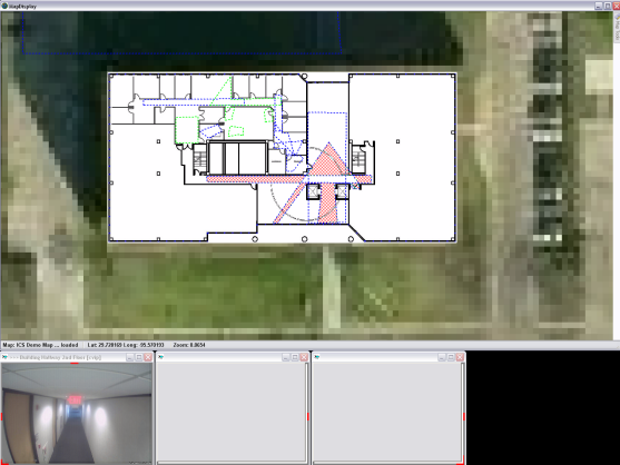
The dotted lines identify view areas that are seen from a camera. Clicking on one of these areas will connect you to the camera and operate the pan-tilt-zoom on the camera, if available, to show you the view you wish to see.
The selected view will be displayed in the 'MAP WINDOW' defined by the administrator.