|
|
|
Zoom IN or Zoom OUT is controlled by the mouse-wheel.
When you Zoom IN or OUT, at different layers in the map, you may see different displays on the map. The administrator defines what is displayed at the varying zoom levels of the map.
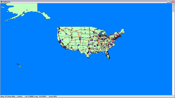
For example: If you are looking at the entire United States outline, you will not see a display of individual devices. There would be far too many of them to show, therefore they are not important at this level. But as you zoom in, usually more detailed information will become available on the map. Below are some examples of a map displayed at different zoom levels.
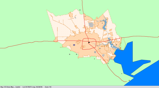
1st View:
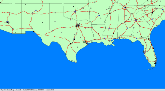
Zoom in #1:
Zoom in #2: Here the outline of Harris County is displayed but at this zoom level, no streets are being shown.
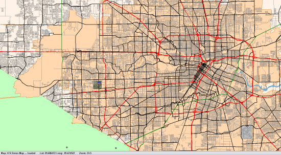
Zoom in #3: Here the streets become visible
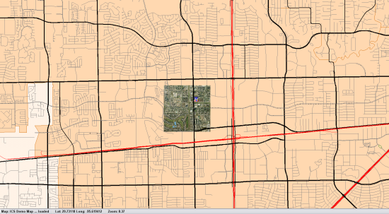
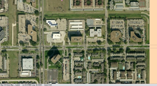
Zoom in #4: A land image section of maps is displayed near the ICS offices. Outside that only streets are being shown
Zoom in #5:
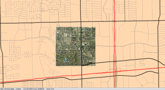
Zoom in #6: The ICS building is in the center of this picture
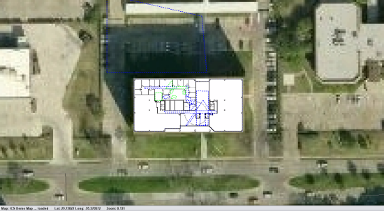
Zoom in #7: At this level an outline of the ICS office layout begins to display
Zoom in #8:
Zoom in #9:
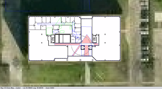
Zoom in #10: Clicking on the red VIEW area calls up the camera displaying that view
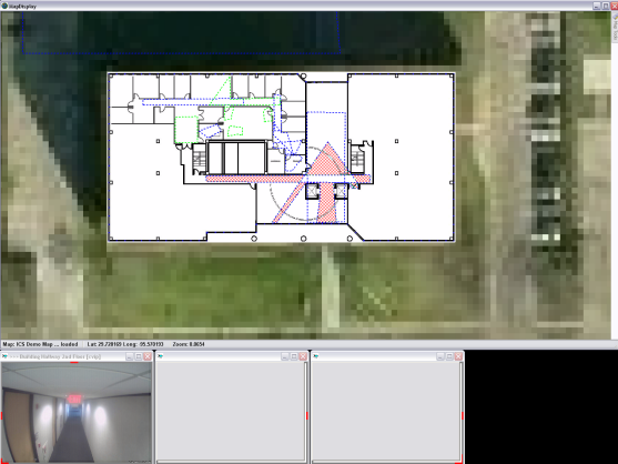
Zoom in #11: Clicking in the LAB area brings up a view of the LAB CFE stations

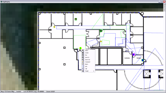
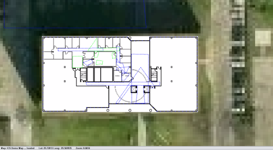
Zoom in #12: The devices which can be operated by COMMANDS are displayed as well as the VIEW areas
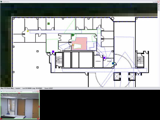
Zoom in #13: Clicking on the Back Door brings up the COMMAND options available for that device